Projects · 2008–2019
OSM Mapper
OSM Mapper was a free online tool from Ito World for monitoring and analysing OpenStreetMap data within an area. It was aimed at the volunteers building the map. You picked an area you cared about, and OSM Mapper showed you who was editing it, what had changed, and what was still missing, so you could improve the map there and keep an eye on it. It covered the whole planet and was refreshed regularly from the latest OpenStreetMap data.
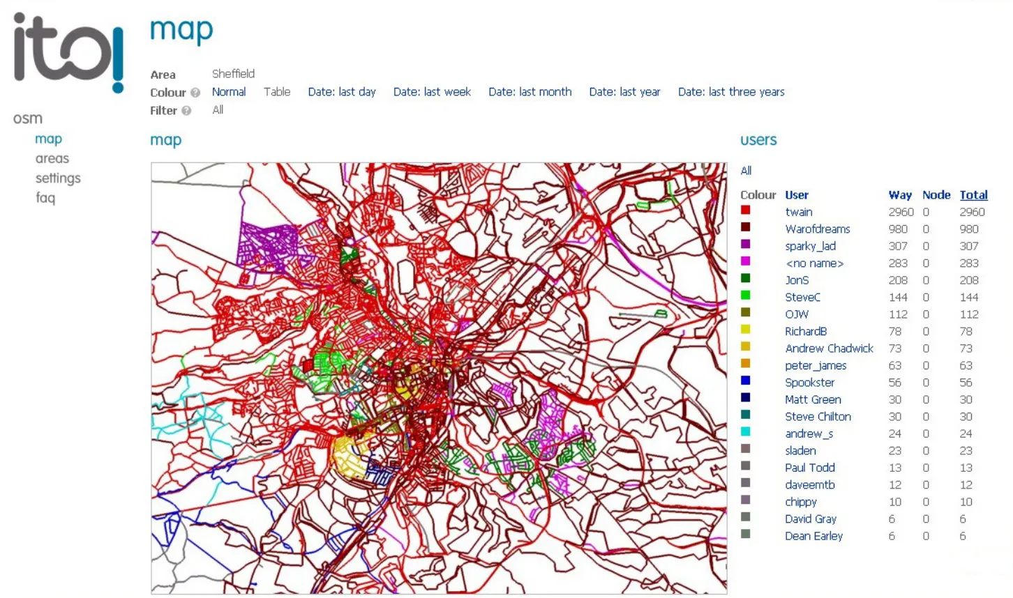
Who is mapping
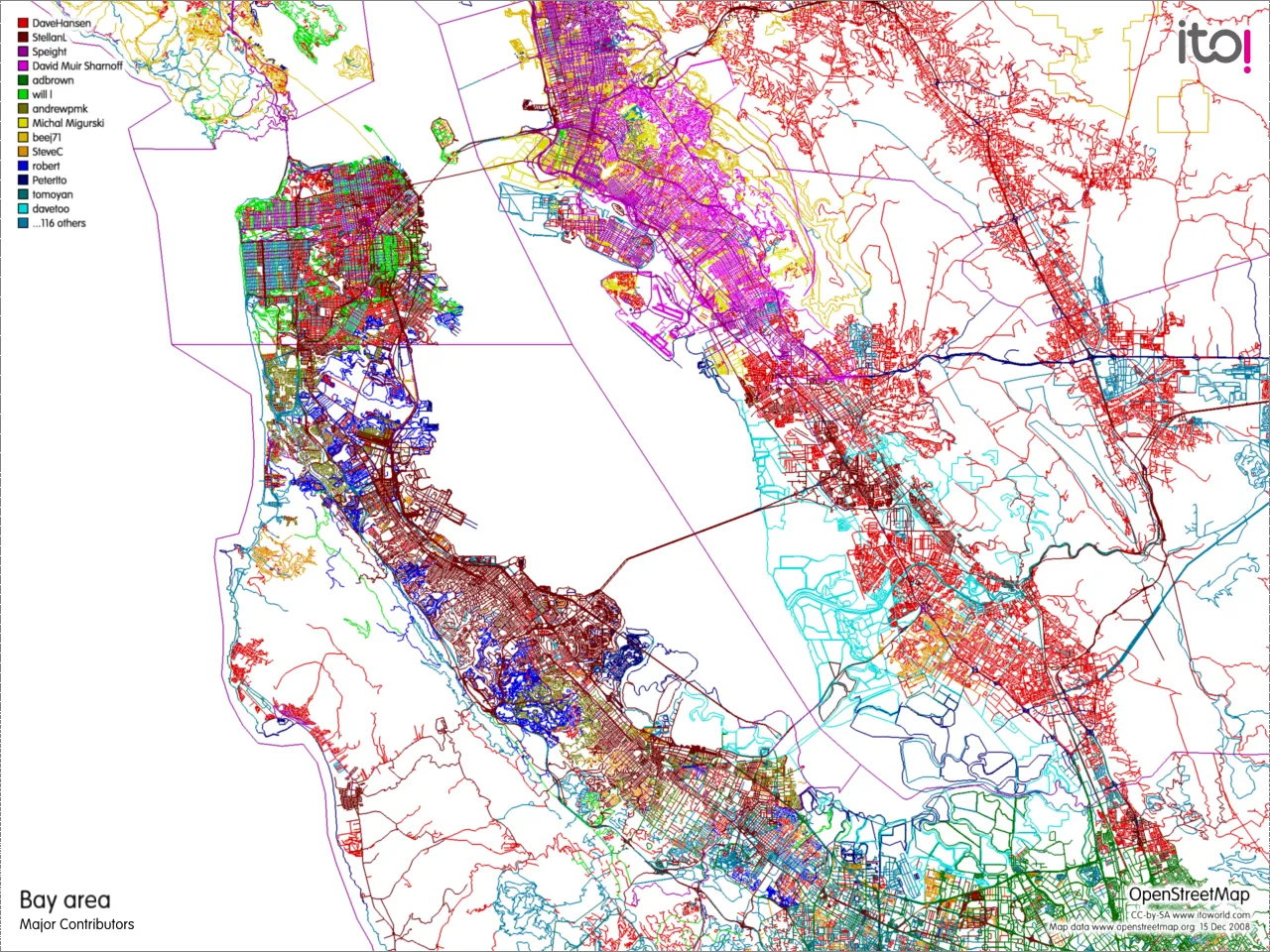
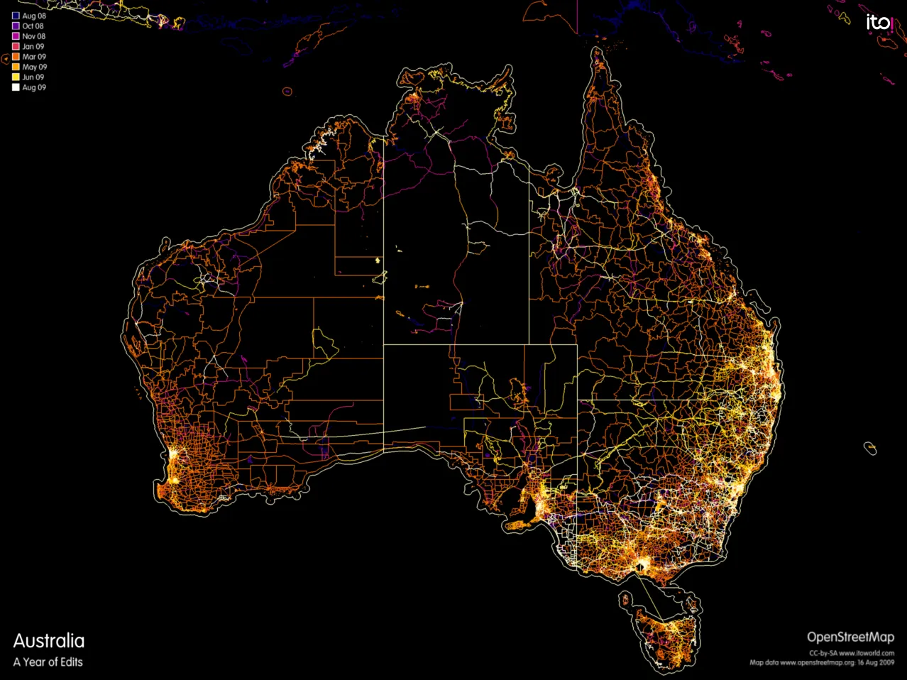
The users view listed everyone who had edited the area, with the number of ways and nodes each had added. Switching the colouring to the table mode gave each contributor their own colour on the map, so you could see at a glance who had mapped which neighbourhood. The date modes coloured the map by when it was last edited instead, from the last day to the last three years, which showed up the parts that had not been touched in a while.
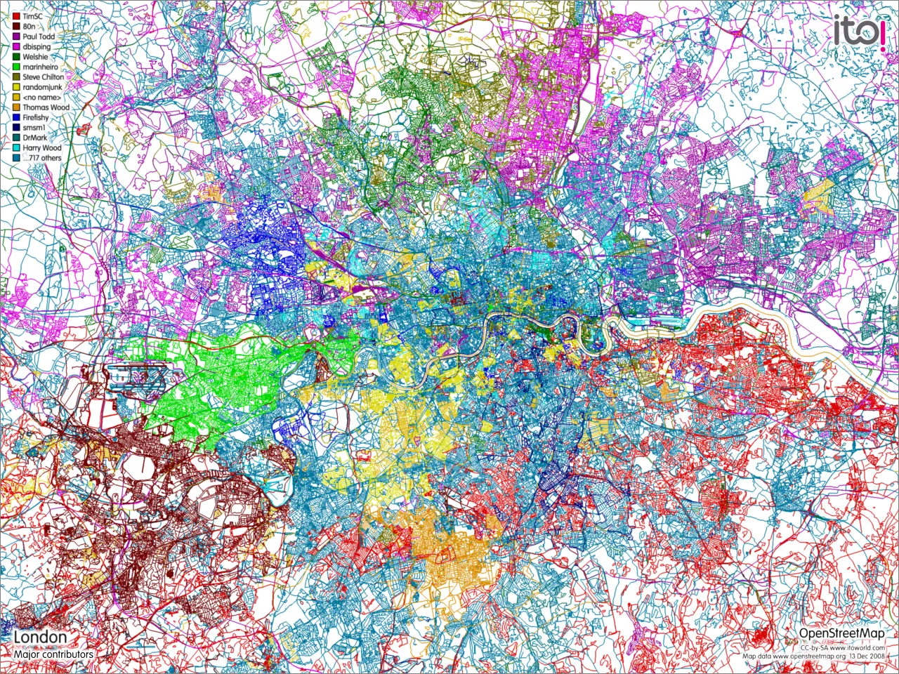
What is on the map
The tags view broke the area’s data down by OpenStreetMap tag. Choosing highway, for example, listed every type of road and how often it was used. Filters narrowed this down further: filter to highways and then look at the name tag, and you had an alphabetical list of every street name in the area. Clicking a name highlighted those roads on the map, and the list could be downloaded as a CSV file.
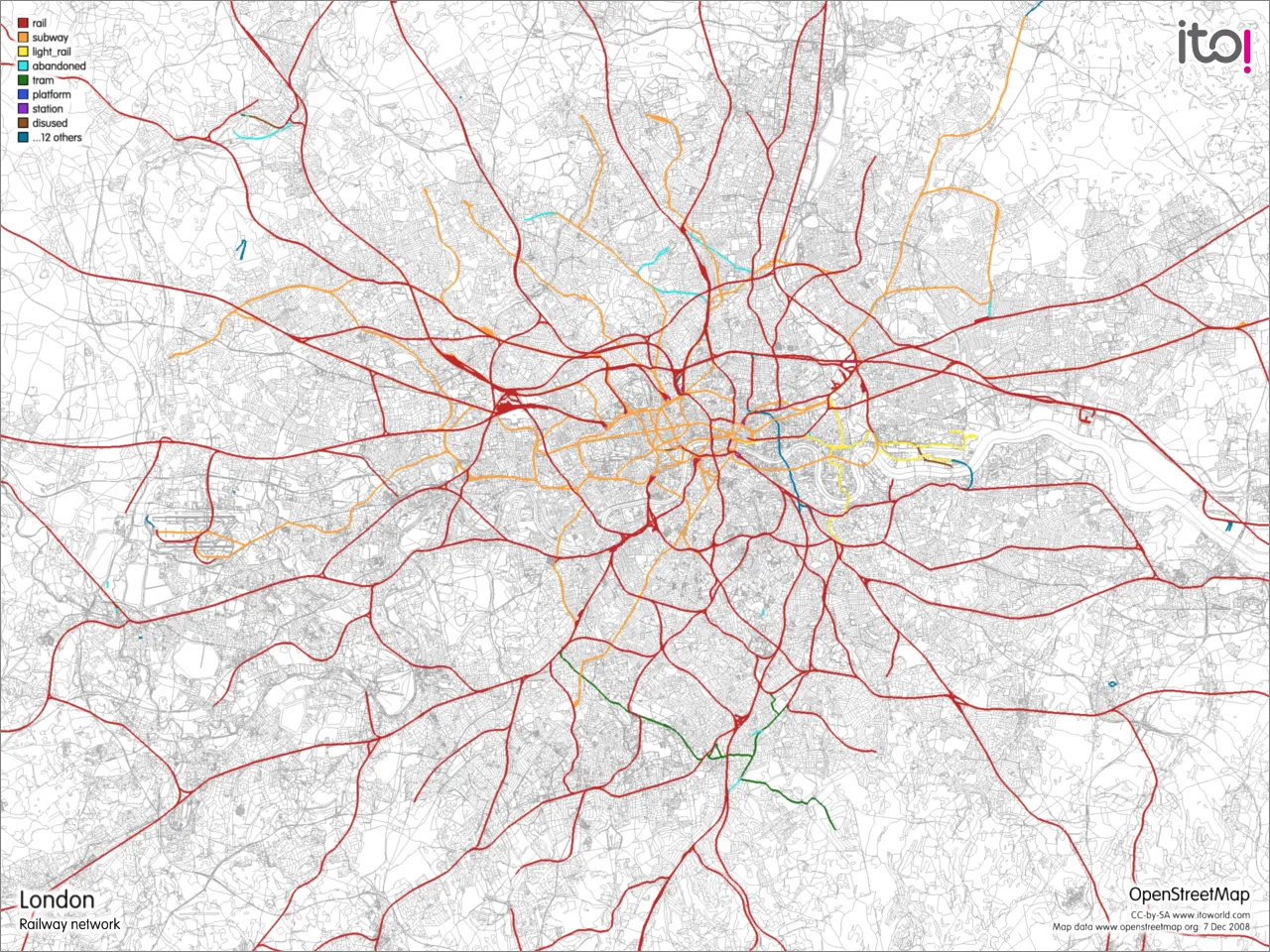
The same approach worked for anything else in the data, such as schools, waterways or the railway network. It was also a good way to find gaps. An unnamed school showed up in the list with only an ID, and a click took you to the OpenStreetMap editor to add the name.
Keeping track of changes
The sessions view listed the recent editing sessions in the area. Clicking one showed where the changes were made and what was modified. The sessions list had an RSS feed, so you could follow changes in a feed reader, or paste the feed into Google Maps to see them on a map. Filters applied to feeds too: you could leave out your own edits to see only what other people were doing, or follow changes to a single kind of feature, such as the railways.
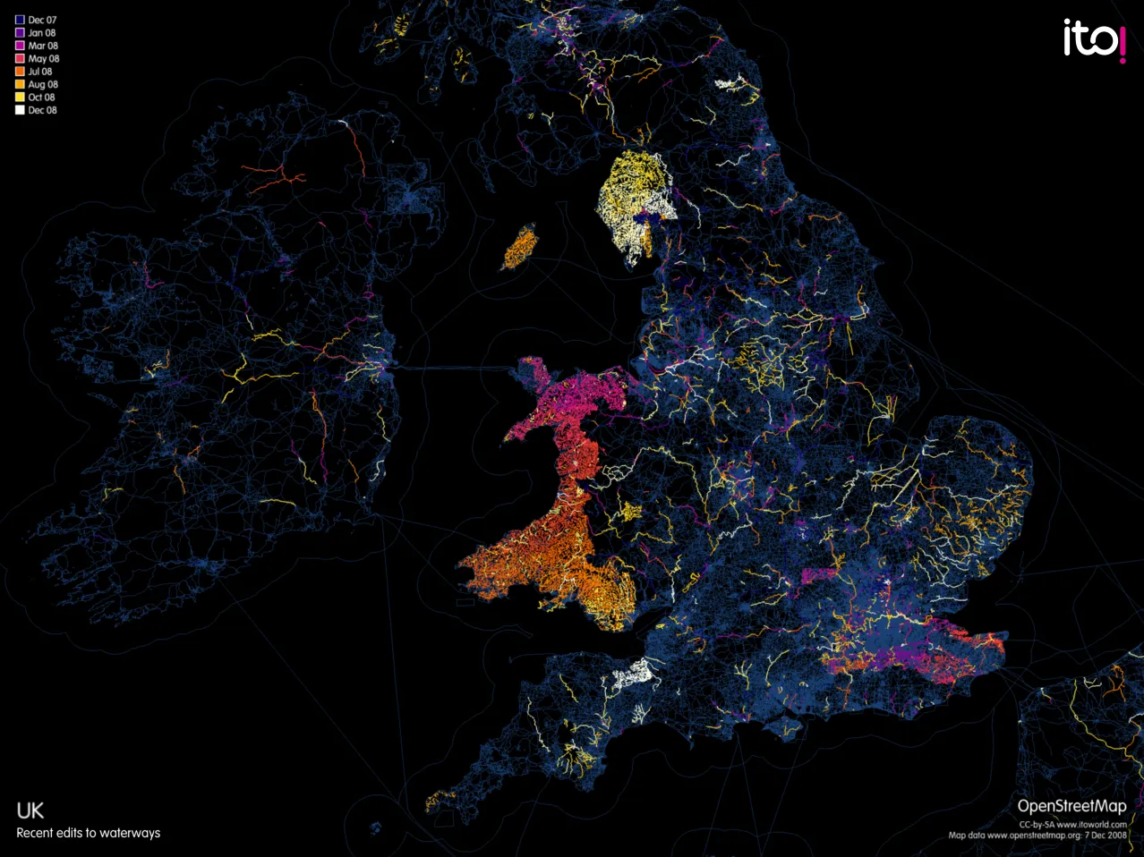
Maps
OSM Mapper could also render large, high-resolution views of the data.
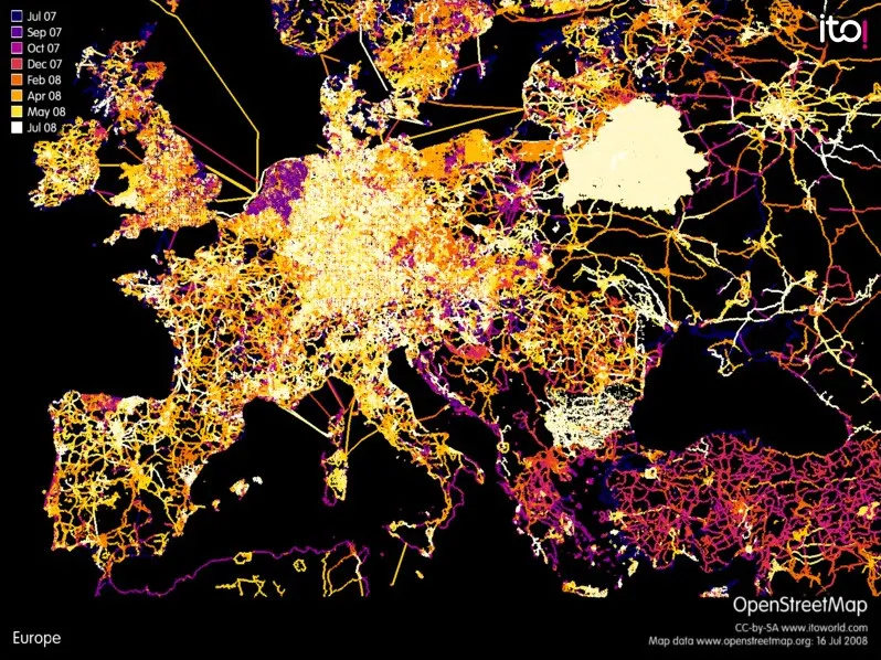
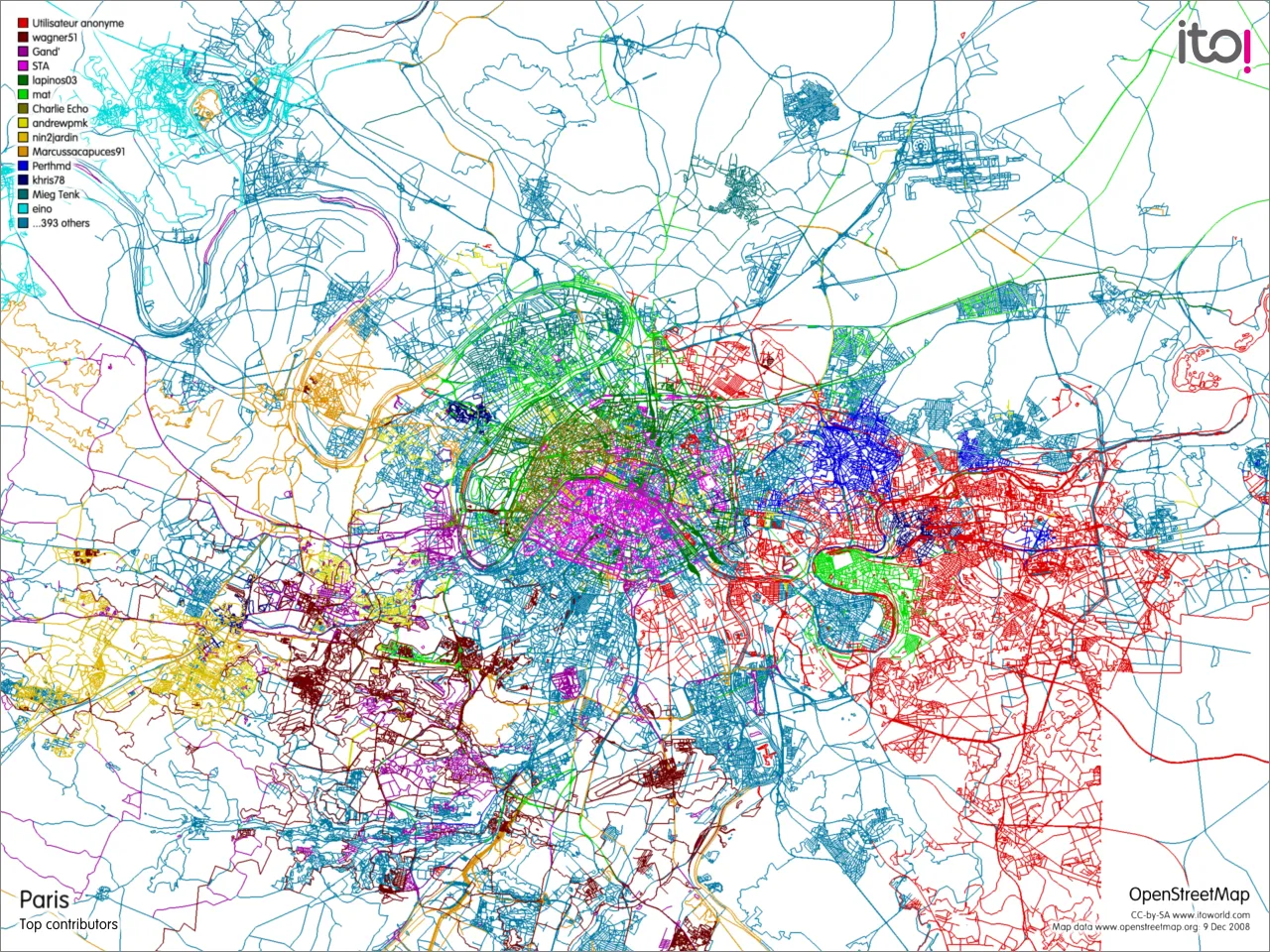
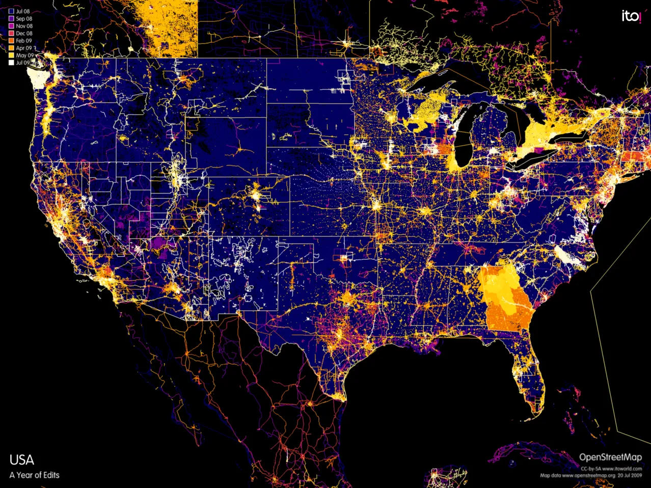
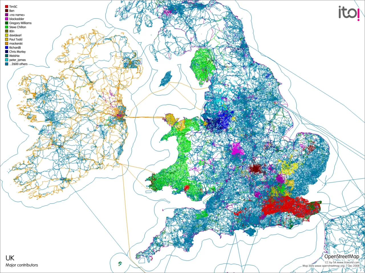
OSM Mapper was developed with support from Ideas in Transit. It ran until 2019, when Ito World withdrew its OpenStreetMap tools.