Projects · 2007
Transport hubs within Kent
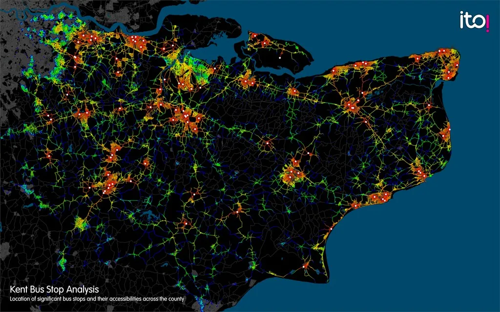
A map of the transport hubs within Kent, produced as part of a hub analysis project for Kent County Council.
Not every bus stop needs the same investment. We identified the hubs as the stops within each area that are likely to be the busiest, and therefore the ones that should have the best printed information and facilities. The map shows where those hubs are across the county.
Visualisation © Ito World Ltd 2007. Road data © Navteq 2007. Bus service information Crown Copyright 2007.